Difference between revisions of "Soils and geology"
m |
m |
||
| (One intermediate revision by the same user not shown) | |||
| Line 11: | Line 11: | ||
*[http://www.mngs.umn.edu/service.htm Minnesota Geological survey] | *[http://www.mngs.umn.edu/service.htm Minnesota Geological survey] | ||
*[http://www.dnr.state.mn.us/waters/groundwater_section/mapping/status.html County Geologic Atlases] | *[http://www.dnr.state.mn.us/waters/groundwater_section/mapping/status.html County Geologic Atlases] | ||
| − | *[ | + | *[https://www.nrcs.usda.gov/conservation-basics/natural-resource-concerns/soil/soil-surveys-by-state State soil surveys] |
*[http://www.mngeo.state.mn.us/chouse/soil.html MNGEO Digital soil mapping] | *[http://www.mngeo.state.mn.us/chouse/soil.html MNGEO Digital soil mapping] | ||
| − | *[ | + | *[https://www.nrcs.usda.gov/ NRCS] |
{{alert|To view the title of an image hold the mouse over the image. To view the image click on the image. Most views show higher resolution depictions of the image.|alert-info}} | {{alert|To view the title of an image hold the mouse over the image. To view the image click on the image. Most views show higher resolution depictions of the image.|alert-info}} | ||
| Line 24: | Line 24: | ||
[[File:Statewide karst areas.jpg|300px|alt=map showing location of karst in Minnesota|Map showing location of karst in Minnesota]] | [[File:Statewide karst areas.jpg|300px|alt=map showing location of karst in Minnesota|Map showing location of karst in Minnesota]] | ||
| − | [[Category:Level | + | [[Category:Level 3 - General information, reference, tables, images, and archives/Images/Maps]] |
Latest revision as of 18:03, 30 January 2023
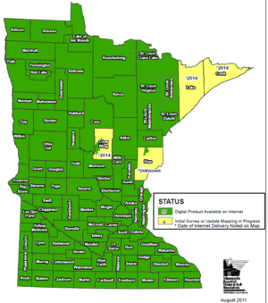
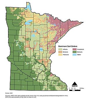
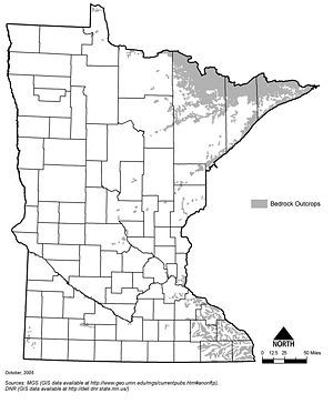
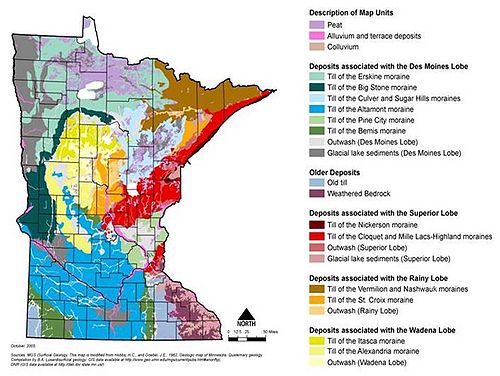
Information: This page contains the following maps showing geology of Minnesota:
- Status of Minnesota soil surveys
- Dominant soil orders of Minnesota
- Location of bedrock outcrops in Minnesota
- Minnesota surficial geology
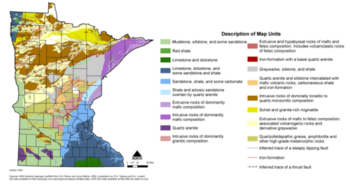
- Minnesota bedrock geology
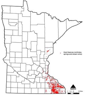
- Location of karst areas in Minnesota
Additional maps can be found at the following websites:
- Minnesota Geological survey
- County Geologic Atlases
- State soil surveys
- MNGEO Digital soil mapping
- NRCS
Information: To view the title of an image hold the mouse over the image. To view the image click on the image. Most views show higher resolution depictions of the image.
This page was last edited on 30 January 2023, at 18:03.
