Difference between revisions of "Soils and geology"
m |
m |
||
| Line 1: | Line 1: | ||
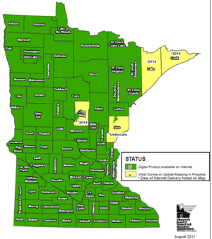
[[File:Minnesota soil survey status.png|thumb|left|300px|alt=map showing status of soil surveys in Minnesota|Map showing status of soil surveys in Minnesota]] | [[File:Minnesota soil survey status.png|thumb|left|300px|alt=map showing status of soil surveys in Minnesota|Map showing status of soil surveys in Minnesota]] | ||
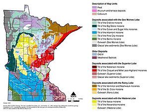
| + | [[File:Minnesota surficial geology.jpg|thumb|center|300px|alt=map showing surficial geology of Minnesota|Map showing surficial geology of Minnesota]] | ||
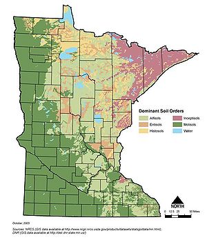
| + | [[File:Minnesota dominant soil orders.jpg|thumb|300px|alt=map showing dominant soil order of Minnesota|Map showing dominant soil orders of Minnesota]] | ||
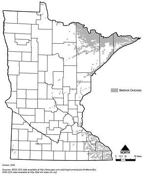
| + | [[File:Minnesota bedrock outcrops.jpg|thumb|left|300px|alt=map showing bedrock outcrops in Minnesota|Map showing bedrock outcrops in Minnesota]] | ||
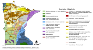
| + | [[File:Minnesota bedrock geology.png|thumb|center|300px|alt=map showing bedrock geology of Minnesota|Map showing bedrock geology of Minnesota]] | ||
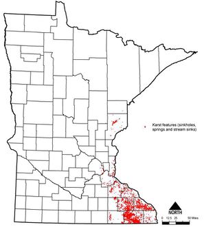
| + | [[File:Statewide karst areas.jpg|thumb|300px|alt=map showing location of karst in Minnesota|Map showing location of karst in Minnesota]] | ||
