Difference between revisions of "Sensitive waters and other receiving waters"
m |
m |
||
| Line 24: | Line 24: | ||
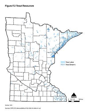
[[File:Minnesota trout resources.jpg|300px|alt=map showing the location of Minnesota's trout waters|Map showing the location of Minnesota's trout waters]] | [[File:Minnesota trout resources.jpg|300px|alt=map showing the location of Minnesota's trout waters|Map showing the location of Minnesota's trout waters]] | ||
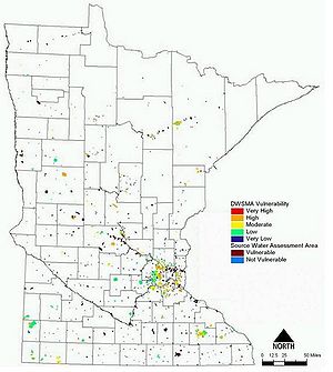
[[File:Source water protection areas.jpg|300px|alt=map showing the location of Minnesota's source water protection areas|Map showing the location of Minnesota's source water protection areas]] | [[File:Source water protection areas.jpg|300px|alt=map showing the location of Minnesota's source water protection areas|Map showing the location of Minnesota's source water protection areas]] | ||
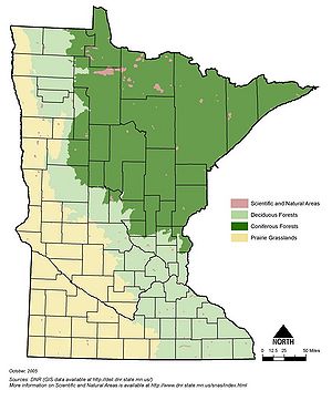
| − | [[File:Minnesota scientific and natural areas|300px|alt=map showing the location of Minnesota's scientific and natural areas|Map showing the location of Minnesota's scientific and natural areas]] | + | [[File:Minnesota scientific and natural areas.jpg|300px|alt=map showing the location of Minnesota's scientific and natural areas|Map showing the location of Minnesota's scientific and natural areas]] |
Revision as of 19:58, 18 December 2012
This page contains the following maps:
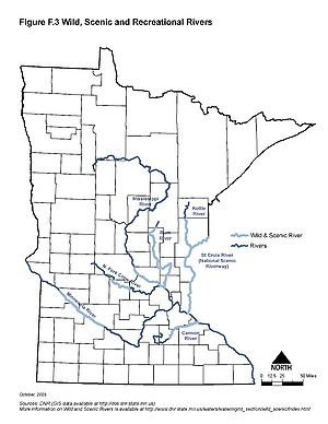
- Minnesota wild and scenic rivers. For more information see [1].
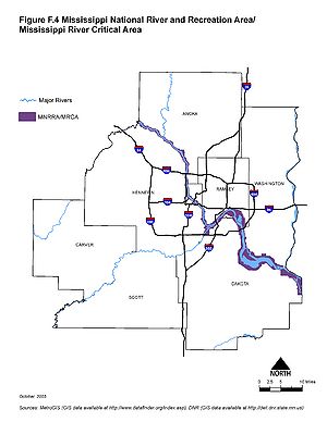
- Mississippi national river and recreation area Mississippi River critical area. For more information see [2] and [3].
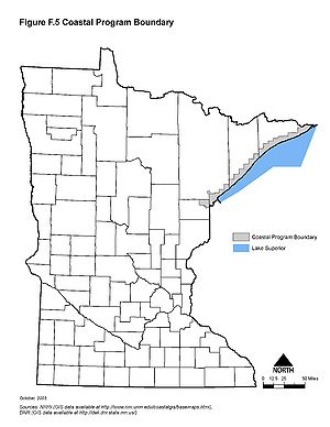
- Minnesota coastal program boundaries. For more information see [4].
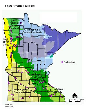
- Minnesota calcareous fens. For more information see list of calcareous fens and fact sheet on calcareous fens
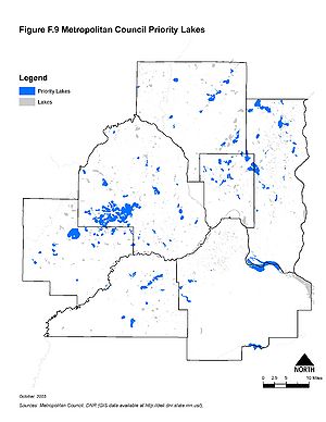
- Metropolitan Council priority lakes. For more information see [5]
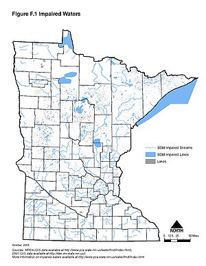
- Minnesota impaired waters. For more information see [6]
- Minnesota trout resources. For more information see [7].
- Minnesota source water protection areas. For more information see [8].
- Minnesota scientific and natural areas. For more information see [9]
Additional information can be found on the following topics:
Information: To view the title of an image hold the mouse over the image. To view the image click on the image. Most views show higher resolution depictions of the image.
