Difference between revisions of "Water"
m |
|||
| Line 9: | Line 9: | ||
| − | [[ | + | [[Category:Level 3 - General information, reference, tables, images, and archives/Images/General]] |
Revision as of 20:19, 6 December 2022
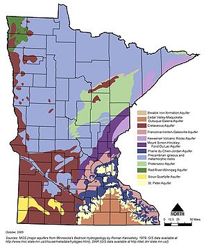
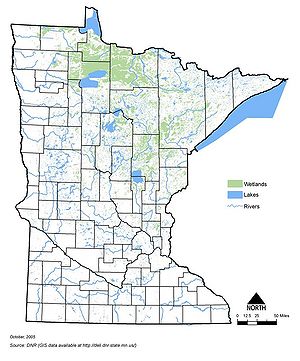
Information: This page contains the following maps showing Minnesota's water resources:
- Minnesota's major aquifers
- Lakes, rivers and wetlands
Information: To view the title of an image hold the mouse over the image. To view the image click on the image. Most views show higher resolution depictions of the image.

