Difference between revisions of "Managed areas"
m |
m |
||
| Line 12: | Line 12: | ||
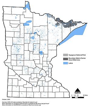
[[File:Minnesota national parks and wilderness areas.jpg|300px|alt=map showing the location of national parks and wilderness areas in Minnesota|Map showing the location of national parks and wilderness areas in Minnesota]] | [[File:Minnesota national parks and wilderness areas.jpg|300px|alt=map showing the location of national parks and wilderness areas in Minnesota|Map showing the location of national parks and wilderness areas in Minnesota]] | ||
| − | [[ | + | [[Category:Level 2 - General information, reference, tables, images, and archives/Images]] |
Revision as of 16:19, 8 December 2022
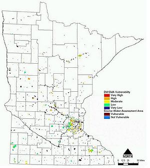
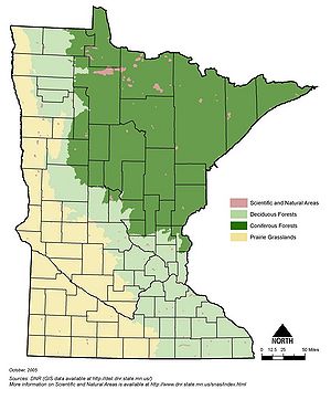
Information: This page contains the following maps showing Minnesota's resource management areas:
Caution: Some of the maps shown below may be outdated. We recommend using the links above if you need the most recent information.
Information: To view the title of an image hold the mouse over the image. To view the image click on the image. Most views show higher resolution depictions of the image.


