Difference between revisions of "Category:Level 3 - General information, reference, tables, images, and archives/Images/Soil and media photos"
(Created page with "tbd") |
m |
||
| Line 1: | Line 1: | ||
tbd | tbd | ||
| + | |||
| + | [[Category:Level 2 - General information, reference, tables, images, and archives/Images]] | ||
Revision as of 22:13, 19 December 2022
tbd
Media in category "Level 3 - General information, reference, tables, images, and archives/Images/Soil and media photos"
The following 33 files are in this category, out of 33 total.
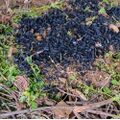
- Biochar.jpg 500 × 500; 133 KB
- Bioretention media.png 1,026 × 773; 2.27 MB
- Coir fiber.jpg 800 × 600; 242 KB
- Compaction tester.jpg 961 × 721; 161 KB
- Compost image.png 939 × 627; 1.42 MB
- Dense soil.jpg 557 × 417; 65 KB
- Direct push technology.jpg 688 × 1,031; 307 KB
- Food source compost.png 1,026 × 765; 2.03 MB
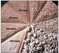
- Grain size.jpg 328 × 294; 41 KB
- Hand held auger.jpg 1,006 × 863; 433 KB
- Inclusions.jpg 240 × 177; 30 KB
- Iron enhanced sand image.png 805 × 261; 316 KB
- Lime sludge.png 505 × 306; 368 KB
- MPD Infiltrometer image.jpg 643 × 480; 90 KB
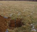
- Ponding in infiltration practice 2.jpg 608 × 456; 57 KB
- Rapid infiltration 1.jpg 345 × 672; 76 KB
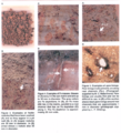
- Redox.jpg 590 × 266; 56 KB
- Redox1.png 486 × 537; 571 KB
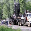
- Rotosonic drill.jpg 664 × 675; 217 KB
- Sampling method and sample type.png 536 × 352; 561 KB
- Sives.png 774 × 507; 895 KB
- Soil color.jpg 600 × 342; 59 KB
- Soil probe.jpg 504 × 336; 61 KB
- Soil ripping.png 511 × 1,001; 1.28 MB
- Soil test pit.jpg 771 × 675; 155 KB
- Sparse vegetation and erosed surface in infiltration basin.jpg 1,000 × 750; 169 KB
- Stratigraphy.jpg 897 × 673; 196 KB
- Topsoil.jpg 940 × 529; 109 KB
- Wind erosion control.jpg 960 × 720; 123 KB
- Wing tip and conventional tip subsoiler.png 781 × 290; 511 KB
- Wood chips.jpg 600 × 400; 94 KB
- Yard waste source compost.png 639 × 769; 1.4 MB
