Category:Level 3 - General information, reference, tables, images, and archives/Images/Schematic - hydrology, soils, media
tdb
Media in category "Level 3 - General information, reference, tables, images, and archives/Images/Schematic - hydrology, soils, media"
The following 49 files are in this category, out of 49 total.
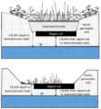
- 3 foot separation b.png 967 × 1,048; 460 KB
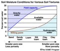
- Available soil water.jpg 914 × 777; 95 KB
- Biological control processes schematic.jpg 956 × 495; 54 KB
- Blow Counts.PNG 223 × 57; 8 KB
- Chemical control processes schematic.jpg 956 × 511; 59 KB
- Conductivity vs water content.png 972 × 452; 53 KB
- Consistence.jpg 638 × 479; 51 KB
- Contaminant feature.png 1,238 × 560; 152 KB
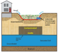
- Contaminated site 2.png 1,044 × 935; 857 KB
- Contaminated site 3.jpg 785 × 652; 80 KB
- Contaminated soil 1.png 1,045 × 935; 914 KB
- Depth to groundwater.png 850 × 627; 424 KB
- Depth to water schematic.jpg 527 × 489; 20 KB
- Determining infiltration rates 1.png 839 × 556; 11 KB
- Determining infiltration rates 2.png 839 × 556; 11 KB
- Determining infiltration rates 3.png 839 × 556; 11 KB
- Engineered media vs soil schematic.jpg 930 × 327; 35 KB
- Erodibility.png 1,392 × 259; 1 MB
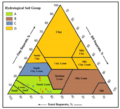
- HSG USDA overlap.png 612 × 558; 203 KB
- Illustration of depth to bedrock or wt.jpg 536 × 210; 22 KB
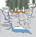
- Illustration of karst features.jpg 224 × 232; 11 KB
- Infiltration effect on hydrograph.jpg 948 × 655; 38 KB
- Log of borring B-01.PNG 780 × 616; 160 KB
- Log of borring B-02.PNG 604 × 783; 163 KB
- Log of borring R-01.PNG 599 × 791; 116 KB
- Log of geoprobe DPT-01.PNG 583 × 788; 107 KB
- Log of test pit TP-01.PNG 577 × 779; 105 KB
- Maximum extent of mound.png 990 × 567; 186 KB
- Mounding schematic.jpg 1,991 × 1,784; 228 KB
- Penetrometer curve.jpg 633 × 490; 41 KB
- Porosity.png 581 × 440; 91 KB
- Schematic of influence zone.png 580 × 919; 34 KB
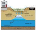
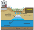
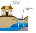
- Schematic showing infiltration.png 422 × 1,025; 861 KB
- Setback distances.jpg 958 × 727; 102 KB
- Soil classification.png 436 × 380; 150 KB
- Soil enzymes.jpg 666 × 395; 41 KB
- Soil food web.jpg 1,233 × 775; 110 KB
- Soil moisture characteristic.png 960 × 720; 80 KB
- Soil salinity.jpg 450 × 345; 35 KB
- Soil structure 2.jpg 594 × 521; 50 KB
- Soil structure.jpg 594 × 521; 50 KB
- Soil temperature.jpg 1,041 × 683; 125 KB
- Soil texture triangle.jpg 519 × 599; 88 KB
- Soil water schematic.jpg 1,024 × 385; 109 KB
- Sorption.png 626 × 434; 281 KB
- Standard penetration test.jpg 500 × 252; 40 KB
- Volume control processes schematic.jpg 956 × 491; 54 KB
- Water holding capacity.png 547 × 408; 86 KB
- Wykoff sinkhole sealing plan.png 1,299 × 869; 951 KB
