![]()
Gallery of new files
This special page shows the last uploaded files.


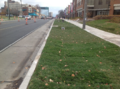
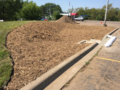
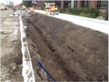 Dry swale infiltration area excavated and finished with hand tools.png PLeegar
21:54, 19 July 2016
676 × 506; 839 KB
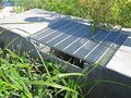
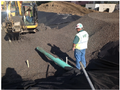 Infiltration media being placed in infiltration area with tracked backhoe.png PLeegar
21:50, 19 July 2016
683 × 510; 832 KB
 Tracked backhoe and hand laborer in infiltration area during excavation.png PLeegar
21:41, 19 July 2016
634 × 478; 703 KB
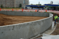 Retaining wall constructed infiltration basin is fully excavated and has infiltration media in place.png PLeegar
21:28, 19 July 2016
736 × 489; 882 KB
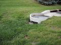
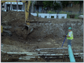
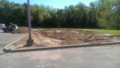
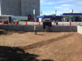
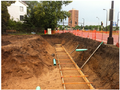 Partial excavation for retaining wall infiltration basin is not excavated.png PLeegar
21:24, 19 July 2016
682 × 509; 890 KB
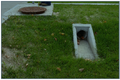
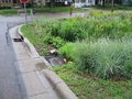
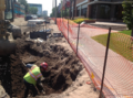
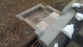
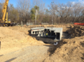
 Pretreatment inlet structure to dry swale with check dam.png PLeegar
20:49, 19 July 2016
603 × 355; 421 KB
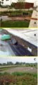
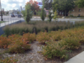 Finished basin with simple groupings of shrubs grasses and trees.png PLeegar
19:35, 19 July 2016
1,428 × 1,069; 4.07 MB
 Infiltration soil being carefully placed to avoid compaction.png PLeegar
19:20, 19 July 2016
1,432 × 1,067; 3.64 MB
- Infiltration soil being carefully placed to avoid compaction.docx PLeegar
19:15, 19 July 2016
; 3.56 MB
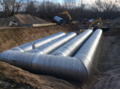
 StormTrap underground storage vault for water stormwater reuse as irrigation.png PLeegar
18:56, 19 July 2016
1,432 × 1,067; 4.3 MB
 Contech infiltration system in native sandy soils.png PLeegar
18:38, 19 July 2016
1,432 × 1,067; 4.06 MB


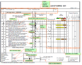
 Schematic showing pollutant load reduction for infiltrated and overflow water 2.png PLeegar
19:51, 29 June 2016
1,132 × 547; 91 KB
 Symbol for underground infiltration in MIDS calculator.png PLeegar
19:02, 29 June 2016
327 × 228; 50 KB
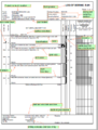
 Schematic showing pollutant load reduction for infiltrated and overflow water.png PLeegar
18:52, 29 June 2016
1,124 × 542; 88 KB
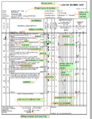
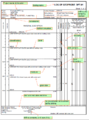
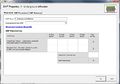
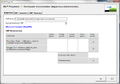
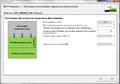 Screenshot from MIDS calculator showing user inputs needed for stormwater disconnection.png PLeegar
18:48, 29 June 2016
1,006 × 707; 76 KB
 Symbol for Stormwater Disconnection in MIDS calculator.png PLeegar
18:38, 29 June 2016
291 × 189; 28 KB