![]()
Category:Level 3 - General information, reference, tables, images, and archives/Images/Swale photos
tbd
Media in category "Level 3 - General information, reference, tables, images, and archives/Images/Swale photos"
The following 32 files are in this category, out of 32 total.
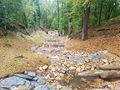
 2-stormwater-step-pool-LimnoTech.jpg 3,024 × 4,032; 7.77 MB
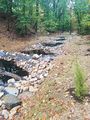
 4-stormwater-step-pool-LimnoTech.jpg 4,032 × 3,024; 7.29 MB
 Concrete check dams.jpg 1,650 × 928; 595 KB
 Dry and wet swales.png 973 × 325; 856 KB
 Dry swale figure 1.png 926 × 305; 682 KB
 Dry swale figure 3.jpg 590 × 391; 42 KB
 Dry swale figure 4.png 1,172 × 565; 1.54 MB
 Dry swale infiltration area excavated and finished with hand tools.png 676 × 506; 839 KB
 Dry swale with check dam inlet pipe.png 528 × 354; 433 KB
 Dry swale with check dams complete with trees.png 694 × 456; 762 KB
 Dry swale with check dams complete with.png 694 × 456; 762 KB
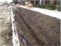
 Dry swale with underdrain.jpg 1,650 × 929; 582 KB
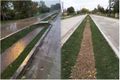
 Dry swale.jpg 773 × 485; 117 KB
 Erosion control mat used to protect swale side slopes.jpg 510 × 354; 47 KB
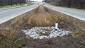
 Established stormwater swale at Empire WWTF.PNG 443 × 310; 316 KB
 Figure for screening straining practices.jpg 670 × 669; 121 KB
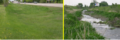
 Highway swale 2.png 344 × 259; 234 KB
 Highway swale.png 341 × 248; 206 KB
 Partial excavation for future dry swale.png 620 × 462; 864 KB
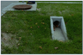
 Pretreatment inlet structure to dry swale with check dam.png 603 × 355; 421 KB
 Silt fence used to protect swale .jpg 501 × 381; 61 KB
 Step pool figure 3.jpg 441 × 702; 118 KB
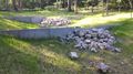
 Step pool.jpg 639 × 480; 112 KB
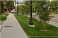
 Swale at Lino Lakes city hall.jpg 1,024 × 768; 1.02 MB
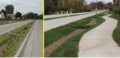
 Swale city of Woodbury.jpg 1,024 × 768; 760 KB
 Vegetated swale city of Wayzata.jpg 960 × 1,280; 1 MB
 Wet swale figure 1.jpg 616 × 413; 79 KB
 Wet swale figure 3.jpg 612 × 352; 37 KB
 Wet swale figure 4.jpg 673 × 524; 47 KB
 Wet swale figure 5.jpg 877 × 658; 93 KB
 Wet swale figure 6.jpg 957 × 640; 160 KB
 Wet swale.jpg 602 × 453; 85 KB


