![]()
No higher resolution available.
Residential_land_use_3.jpg (759 × 569 pixels, file size: 91 KB, MIME type: image/jpeg)
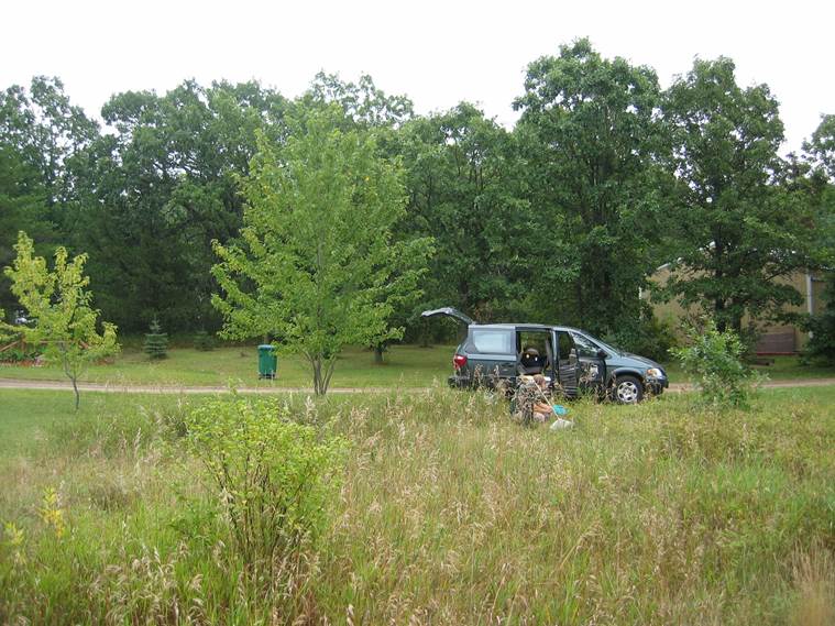
Residential areas typically represent a low risk of soil or groundwater contamination. However, if the area is served by septic systems (individual sewage treatment systems or ISTS), determine the location of nearby septic systems and determine groundwater flow direction at the site. This can be obtained from local groundwater flow maps. Calculate the [extent of a mound beneath the infiltration practice to ensure the mound does not intersect a plume from a septic system.
File history
Click on a date/time to view the file as it appeared at that time.
| Date/Time | Thumbnail | Dimensions | User | Comment | |
|---|---|---|---|---|---|
| current | 14:20, 26 February 2016 | | 759 × 569 (91 KB) | Mtrojan (talk | contribs) |
You cannot overwrite this file.
File usage
The following page uses this file: