Difference between revisions of "MIDS calculator videos"
m |
m |
||
| Line 27: | Line 27: | ||
#Using the calculator for large areas and lumping BMPs | #Using the calculator for large areas and lumping BMPs | ||
#Available resources | #Available resources | ||
| + | |||
| + | [[[[Category:Level 3 - Models and modeling/Specific models/MIDS Calculator]]]] | ||
Revision as of 20:16, 1 December 2022
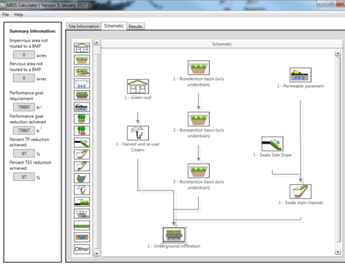
Videos demonstrating use of the Minimal Impact Design Standards (MIDS) calculator are being developed. These videos will typically be short and focus on a specific aspect of the calculator. Videos that have been completed and converted to YouTube videos are shown in blue text. Click on the link to view the module.
- Overview of the calculator
- Setting up your project site
- Basis for calculations and changing defaults
- The Excel file behind the graphical user interface
- Bioretention
- Infiltration basin/trench and underground infiltration
- Swale (not including wet swale)
- Tree trench
- Sand filter and iron enhanced sand filter
- Permeable pavement
- Green roof
- Constructed ponds and constructed wetlands
- Harvest and use/re-use
- Disconnection BMP
- The Other BMP
- Routing BMPs in series
- Infiltration BMPs
- Filtration BMPs
- Non-volume control BMPs (pond, wetland, sand filter, wet swale)
- Multiple BMP exercises
- Interpreting results
- Using the calculator for large areas and lumping BMPs
- Available resources
[[]]

