
Sensitive waters and other receiving waters
This page contains the following maps:
- Minnesota wild and scenic rivers
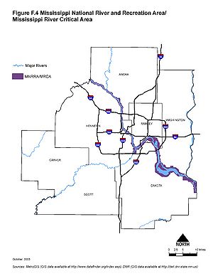
- Mississippi national river and recreation area Mississippi River critical area
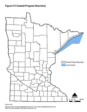
- Minnesota coastal program boundaries
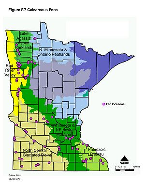
- Minnesota calcareous fens
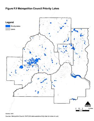
- Metropolitan Council priority lakes
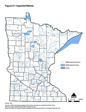
- Minnesota impaired waters
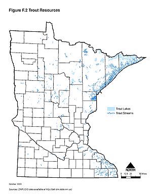
- Minnesota trout resources
- Minnesota source water protection areas
[[File:Minnesota wild and scenic rivers.jpg|300px|alt=map showing the location of Minnesota's wild and scenic rivers|Map showing the location of Minnesota's wild and scenic rivers
 Map showing the location of Minnesota's source water protection areas