Difference between revisions of "Soils and geology"
m |
m |
||
| Line 11: | Line 11: | ||
*[http://www.mngs.umn.edu/service.htm Minnesota Geological survey] | *[http://www.mngs.umn.edu/service.htm Minnesota Geological survey] | ||
*[http://www.dnr.state.mn.us/waters/groundwater_section/mapping/status.html County Geologic Atlases] | *[http://www.dnr.state.mn.us/waters/groundwater_section/mapping/status.html County Geologic Atlases] | ||
| + | *[http://www.nrcs.usda.gov/wps/portal/nrcs/surveylist/soils/survey/state/?stateId=MN State soil surveys] | ||
*[http://www.mngeo.state.mn.us/chouse/soil.html MNGEO Digital soil mapping] | *[http://www.mngeo.state.mn.us/chouse/soil.html MNGEO Digital soil mapping] | ||
*[http://www.nrcs.usda.gov/wps/portal/nrcs/main/mn/soils/ NRCS] | *[http://www.nrcs.usda.gov/wps/portal/nrcs/main/mn/soils/ NRCS] | ||
Revision as of 20:35, 8 April 2014
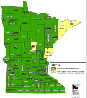
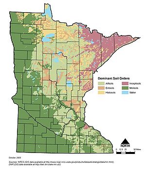
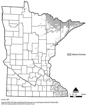
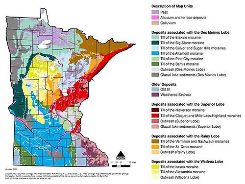
Information: This page contains the following maps showing geology of Minnesota:
- Status of Minnesota soil surveys
- Dominant soil orders of Minnesota
- Location of bedrock outcrops in Minnesota
- Minnesota surficial geology
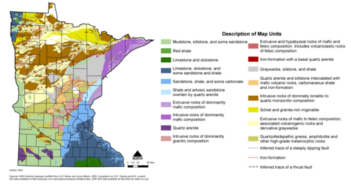
- Minnesota bedrock geology
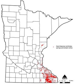
- Location of karst areas in Minnesota
Additional maps can be found at the following websites:
- Minnesota Geological survey
- County Geologic Atlases
- State soil surveys
- MNGEO Digital soil mapping
- NRCS
Information: To view the title of an image hold the mouse over the image. To view the image click on the image. Most views show higher resolution depictions of the image.
