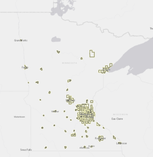
Why is a municipality regulated under the MS4 permit?

Only certain MS4s in Minnesota are subject to stormwater regulation under the Clean Water Act and Minnesota Rule 7090. The MPCA regulates the following:
- An MS4 located fully or partially within an urbanized area as determined by the latest Decennial Census and owned or operated by a publicly owned entity that has the potential resident capacity, bed count occupancy, or average daily user population of 1,000 or more. See changes in regulated areas for cities and townships due to 2019 Legislation for more information.
- An MS4 owned or operated by a municipality with a population of 10,000 or more.
- An MS4 owned or operated by a municipality with a population of at least 5,000 and discharges or has the potential to discharge stormwater to one of the following:
- A water identified as an outstanding resource value water as identified in Minn R. 7050.0180, subparts 3 and 6.
- A water identified as a trout lake or trout stream as identified in Minn. R. 6264.0050, subparts 2 and 4.
- A water listed as impaired under section 303(d) of the Clean Water Act, 33 U.S.C. § 1313.
Owners or operators of MS4s that meet the above criteria must submit an MS4 General Permit to the MPCA. Under the permit, the owner or operator is required to reduce the amount of sediment and pollution carried from stormwater to surface and ground water to the maximum extent practicable. Additionally, the permit requires the system owner or operator to develop a stormwater pollution prevention program (SWPPP) that incorporates best management practices (BMPs) most appropriate to their MS4.
Note: The cities of Minneapolis and St. Paul are Large MS4s (population of 250,000 or more) and received reissued individual NPDES/SDS permits on January 21, 2011.
This page was last edited on 2 July 2024, at 14:23.