Information: This page contains links for the following maps showing Minnesota's sensitive waters:
- Minnesota wild and scenic rivers. For more information see [1].
- Mississippi national river and recreation area Mississippi River critical area. For more information see [2] and [3].
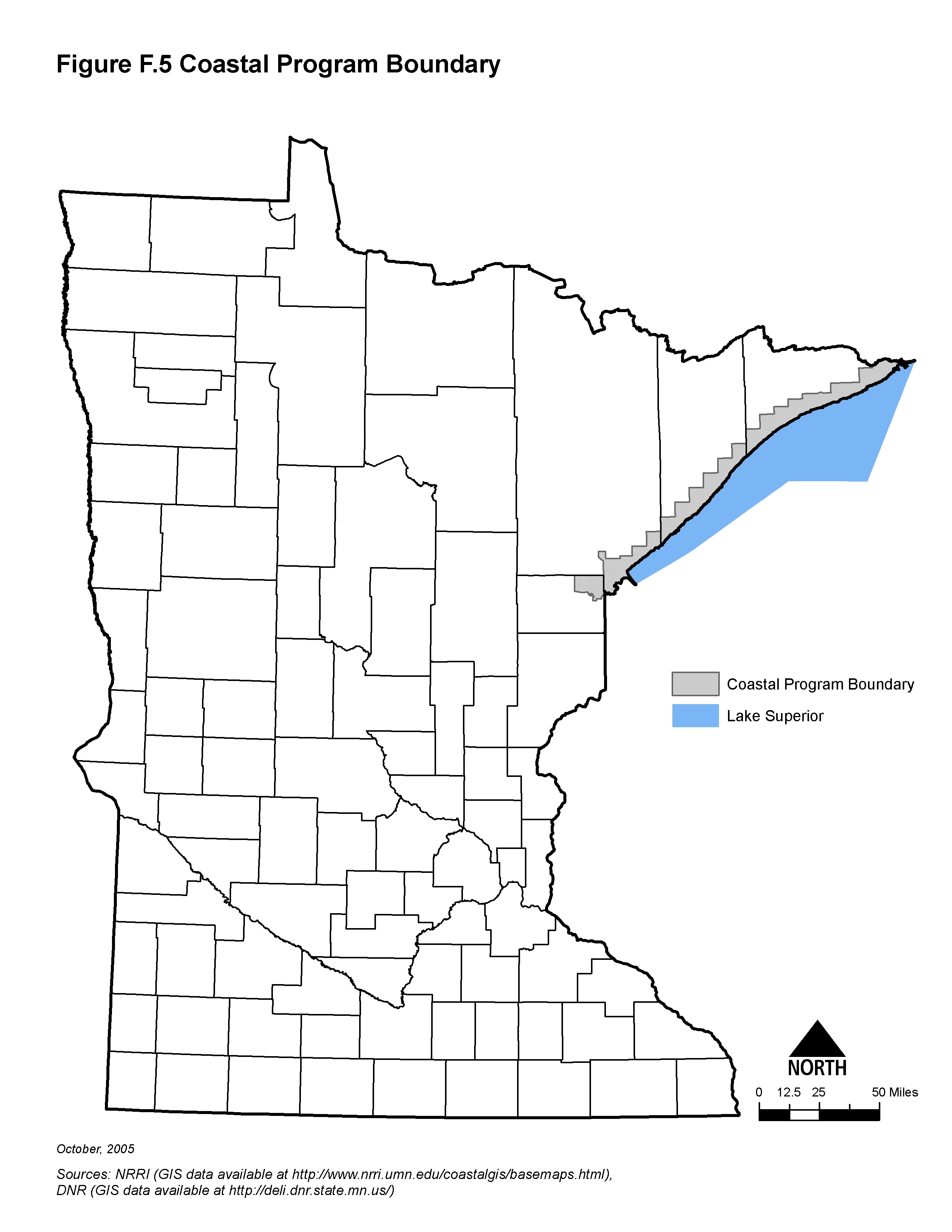
- Minnesota coastal program boundaries. For more information see [4].
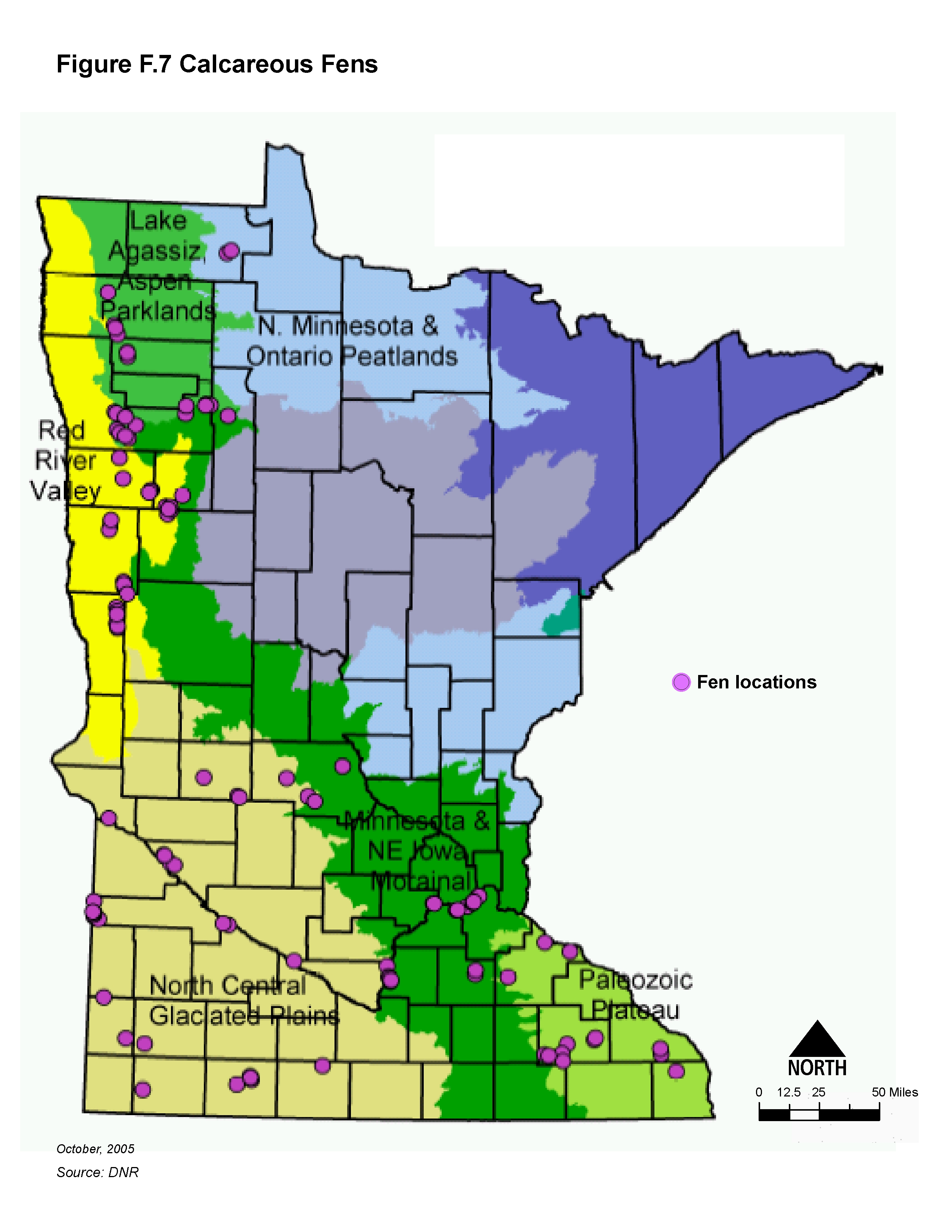
- Minnesota calcareous fens. For more information see list of calcareous fens and fact sheet on calcareous fens
- Minnesota impaired waters. For more information see [5]
- Minnesota DNR trout waters. For more information see [6]. For listed trout lakes and trout streams see [7].
- Minnesota cold water habitats. For more information see this publication.
- Minnesota source water protection areas. For more information see [8] or [9]
- Minnesota scientific and natural areas. For more information see [10]
- Minnesota outstanding resource value waters.
Additional information can be found on the following topics:
Images showing select categories of sensitive water included below. Click on an image to enlarge.